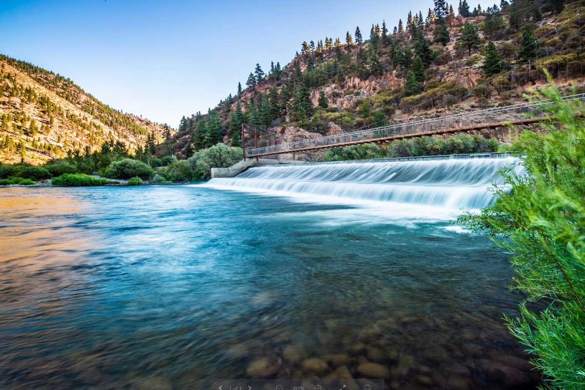
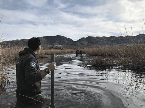
A watershed is a land area that channels rainfall and snowmelt to creeks, streams, and rivers that eventually flow into the same body of water or basin.
Many watersheds drain into oceans, but the Truckee River Watershed does not. Snowmelt and rainfall within this 3,060 square mile watershed instead flows inland into the Great Basin, with a natural termination point at Pyramid Lake.
It's important to remember that our cities and towns are also part of the watershed. In urban areas runoff from snow, rain, and even sprinkler systems can pick up pollutants that can eventually end up in our waterways.
Locally, the Truckee Meadows Stormwater Quality Management Program exists to coordinate efforts from cities of Reno and Sparks and Washoe County to reduce and eliminate run-off pollution. This program helps to further the region's Integrated Source Water and Watershed Protection Plan for the prevention of future contamination of our surface and groundwater sources.

The image above identifies all of the Truckee River watershed tributaries, sourcewater protection areas, irrigation ditches, and groundwater basins in Reno and Sparks. An interactive version of this map provides views with street-level detail and serves as a centralized reference for entities directly involved with watershed and stormwater management in the region.
Additionally, the Nevada Department of Transportation, Stormwater Division has active programs to address contamination from stormwater runoff from our roads and neighborhoods. To become more familiar with what stormwater is and how it impacts water quality, visit NDOT's Stormwater Public Education resources.


